
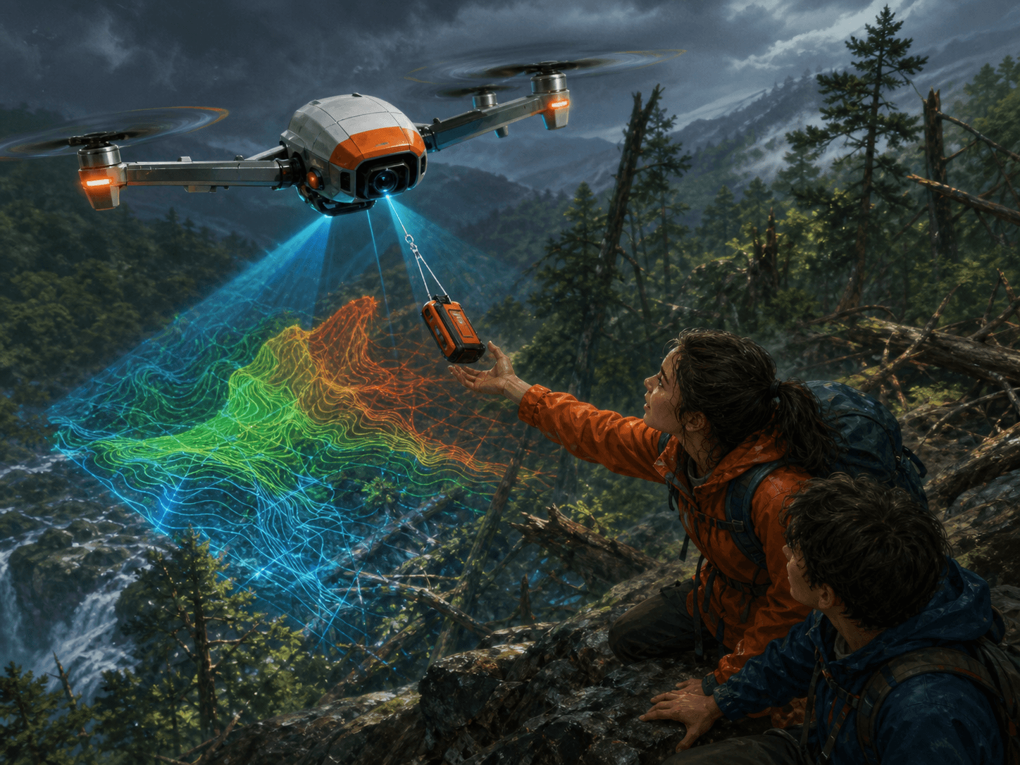
Uncrewed aircraft carry cameras and sensors for surveying, rescue, agriculture, wildlife research and inspection. They still face limits from weather, battery life, communication, privacy and aviation rules.
What we found
A drone can fly a programmed route and combine overlapping images into a detailed map. Thermal cameras may help search for missing people, while specialised sensors inspect crops or structures. Responsible operation requires trained pilots, safe distances and respect for local law. A drone is a useful tool, not an all-seeing machine. The Ridbusters then compare the wording with the original sources, look for the conditions of each observation and check whether another explanation could fit. That turns a surprising headline into a trail a young investigator can follow: claim, test, result and remaining uncertainty. Uncrewed aircraft carry cameras and sensors for surveying, rescue, agriculture, wildlife research and inspection.